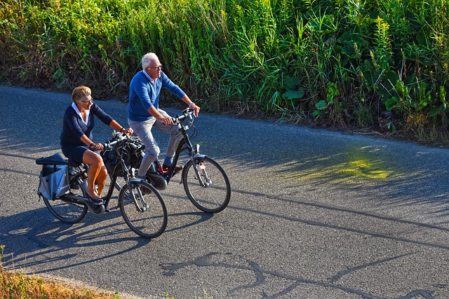
Bicycle Lanes
Bicycle Lanes Australia, All State Line Marking
Line Marking for Bicycle Lanes Servicesindustry leaders who are proficient in the implementation and development of line marking and basic safety services. Line marking and Thermoplastic audible tactile is regarded as the most reputed, long lasting, durable, and secure line marking solution available these days. At All State, we feel pride to announce that we own two thermoplastic extruders that can travel easily anywhere in Australia to deliver high quality and exceptional line marking work.
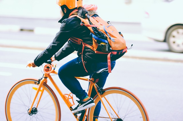
Have fun, feel more energetic and do your bit for the environment! There are so many reasons to get on your bike.
Newcastle
Cycling is an excellent way to get around, save money, keep fit and reduce your impact on the environment. A bike trip of less than 5km can be even quicker than taking the car. Many of the key attractors in Newcastle are within a short bike trip of each other.
Our Newcastle Cycleways map (pdf) shows our existing cycleways, recommended connecting routes and some of our proposed future works for the whole local government area. Hardcopies are available at Newcastle libraries, many bike shops, the Newcastle Shop and City Administration Centre.
Bathers Way loops
- Approximately 20km loop – Bathers Way, Foreshore and Hamilton
- Approximately 10km loop – Bathers Way, Foreshore and Cooks Hill
Breakwall to breakwall
- Approximately 25km
- Scenic flat ride on shared pathways and quiet back streets
Newcastle City to Belmont (R1)
- Approximately 22km
- Includes 16km Fernleigh Track
- Low to moderate difficulty
Kotara South to Mayfield, TAFE and University (R4)
- Approximately 8km
- Off-road cycleway except for approximately 2km
- Intersects with cycleways to Newcastle City, University and TAFE
- Easy
Newcastle City to University (Callaghan) (R6)
- 11km north route through Wickham, Maryville, Mayfield and Waratah
- The route follows shared pathways and mostly quiet back-streets
- Easy, except for the crossing of Maud St
John Hunter Hospital to University (Callaghan) via Jesmond Park
- 6km
- Off-road cycleway except for 300m of quiet back-streets
- From Jesmond, runs parallel with the Newcastle Inner City Bypass
- Easy (off road) but steep in parts
Newcastle City to Wallsend (R1, R5)
- 12km
- Continue on from Wallsend to Glendale on the Tramway Track (3.6km)
- Mostly easy, some sections of moderate difficulty
Tramway Track
- Runs from Ganney Street, Wallsend to Frederick Street, Glendale
- 3.6km
- Easy
Fernleigh Track
- 15km shared path along former rail corridor
- Connects Adamstown and Belmont
- Easy
Reading our cycleways maps
Level of difficulty
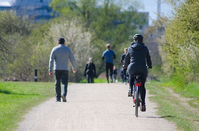
Whether you are a confident rider, new to cycling, riding with others or alone, it is important to choose a route that suits.
Routes have been shown in our maps as off-road or low, medium or high difficulty. Unless indicated as ‘steep’, most routes are at easily traversed grades. The level of difficulty – low, medium and high, is based on consideration of traffic volume and speed, not on gradient. In addition to the routes shown as low difficulty, many of our local streets have low traffic volumes and speed limits of 40km/h, which make them suitable for riders of most abilities.
Off-road routes are shared paths used by both pedestrians and riders and are identified by signage. Bike riders must always give way to pedestrians on shared paths.
Low difficulty – These routes are on streets with low traffic volumes and speeds.
Medium difficulty – These routes have low to medium traffic volumes and a speed limit of 50km/h generally applies. They may involve negotiating intersections that warrant a high degree of caution.
High difficulty – High difficulty routes are generally on arterial roads, which are direct but have high traffic volumes and speeds greater than 50km. These are suitable for more experienced and confident riders.
Proposed (dashed line) – These are routes that are either under investigation, in design or under construction.
Cycleway nodes
The cycleway nodes shown on our maps are points which correspond to destinations on our wayfinding signage. Distances shown on the wayfinding signage are measured along the route to these points.
Lake Macquarie
Welcome to Lake Macquarie’s Shared Pathways
Lake Macquarie boasts some of the most picturesque scenery in New South Wales. What better way to view our unique natural environment and access the City’s facilities, than by walking and cycling – something the whole family can enjoy.
This guide details the shared pathway network around Lake Macquarie. The Fernleigh Track and Warners Bay foreshore sit as the centrepieces of this network of ‘green routes’. They connect people with our stunning natural landscape, as well as our cafes, shopping areas, schools, parks, public reserves, picnic and swimming areas and sporting fields.
The many attractive and comfortable shared pathway routes offer a safe environment for children and adults, providing a platform for this healthy
recreational activity.
Whether you are a local looking to find a new way to reach your regular destinations or a visitor wanting to see the best the city has to offer, walking and cycling around Lake Macquarie will offer you a refreshing way to enjoy the outdoors and our magnificent natural surrounds.
The area’s premier shared path is Warners Bay Foreshore. Well suited to a leisurely afternoon’s cycling, start at Eleebana and make your way along the lake to Warners Bay, taking in the spectacular Redbluff Boardwalk as you go. Take a break at Warners Bay, grab a cup of coffee or a bite to eat for some extra energy. If you didn’t bring your bike, you can easily hire one at Warners Bay from Boomerang Bike’s automatic bike hire station, located on the foreshore reserve, across from the main retail strip.
Continue through Speers Point Park, any kids in tow will be delighted by a stop at the Lake Macquarie Variety Playground. Further along lies the Lake Macquarie City Art Gallery, marking the end of the path.
Warners Bay Foreshore Shared Pathway
Location: Waterfront, Eleebana – Booragul
Distance: 9km one-way
Grade: Easy
Start: Lions Park, Eleebana
Access: The Esplanade, Warners Bay
Description: The premier pathway in Lake Macquarie, it hugs the Lake for its entirety. The path includes Redbluff Boardwalk, a 400m-long elevated boardwalk built over the water. Don’t forget Boomerang Bikes has an automatic bike hire station at Warners Bay Foreshore, across from the main retail strip, making it easy for you to explore the foreshore.
The Fernleigh Track
Location: Belmont (Lake Macquarie) – Adamstown (Newcastle)
Distance: 16km one-way
Grade: Easy
Start: Railway Parade, Belmont
Access: Railway Parade, Belmont
Description: This restored heritage railway corridor links the cities of Lake Macquarie and Newcastle together. See former stations and railway relics amongst stunning wetland and bush landscapes.
Wangi Wangi Point Flora and Fauna Reserve
Location: Wangi Wangi Point
Distance: 4 trails, ranging from 500m – 2km
Grade: Easy – Moderate
Start: Reserve carpark
Access: Dobell Drive or Watkins Road, Wangi Wangi
Description: Trails are non-paved bush tracks, with access to scenic lake viewing points. Koalas are known to inhabit the Flora and Fauna reserve, as does protected native plant life and many bird species.
Maitland
Maitland provides a variety of bicycle facilities for your enjoyment so get out the push bike and cycle your way around town. Within Maitland Park a 3 metre wide shared pathway loops 1.8km around the parameter for everyone to access and enjoy. A children’s bike path located beside the playground area in Maitland Park is also available, which encourages road safety education. The shared path along the Hunter River provides a scenic route for cyclists away from busy roads and a provision of bicycle parking facilities about town offers people the option to ride to their destination.
If you are after more information or wanting to know more about cycling around town the Cycleway Pocket Map is a great place to start.
It provides information on:
- Main Roads
- Local Roads
- Railway
- Walking Paths
- Waterways
- Parks
- Toilets
- Shopping Centres
- Place of Interest
- Picnicking
- Hospital
- Visitor Information Centre
- BBQ Areas
- Playgrounds
- Library
- Police Station